LandRiskUA
Towards an Innovative Methodology for Land Degradation Risk Assessment in Ukraine
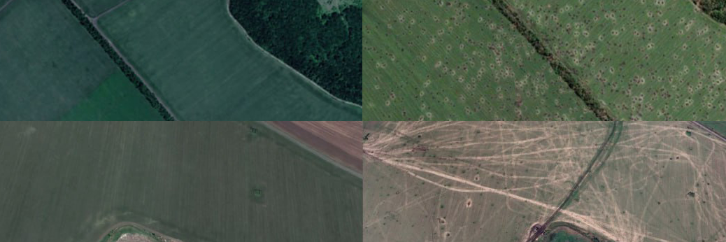
We contribute to the development of a multi-criteria approach for assessing and mapping the risk of land degradation in Ukraine, taking into account military-technological factors. Special attention is given to evaluating the impact of a complex of mechanical, physical, and chemical effects of military actions on the alteration and destruction of fertile chernozem soils. The research methodology is based on a combination of GIS analysis and modeling with multi-criteria decision-making methods and expert assessments, allowing the ranking of territories by the degree of negative impact of military-technological factors. Open-source INTelligence methods, as well as APIs from NASA FIRMS, Harvest Data Catalog, European Forest Fire Information System (EFFIS), and high-resolution multispectral satellite images are used to obtain initial data. The aim is to obtain maps of the distribution of land degradation risk index for various scenarios of impact intensity.
- Kuznichenko, S. D. (2022). MODEL OF THE PROCESS OF GEOSPATIAL MULTI-CRITERIA DECISION ANALYSIS FOR TERRITORIAL PLANNING. Radio Electronics, Computer Science, Control, 2, Article 2. https://doi.org/10.15588/1607-3274-2022-2-14
- Kuznichenko, S., Ivanov, D., & Kuznichenko, D. (2024). USING THE GEOSPATIAL MULTI-CRITERIA DECISION ANALYSIS MODEL AND METHODS FOR SOIL DEGRADATION RISK MAPPING. Bulletin of National Technical University “KhPI”. Series: System Analysis, Control and Information Technologies, 1 (11), Article 1 (11). https://doi.org/10.20998/2079-0023.2024.01.03
Project overview
Period: 01/2024 - 12/2025
Funding: Alexander von Humboldt Foundation
Member: Svitlana Kuznichenko (Researcher)

