Earth Observation and Geoinformation Science Lab
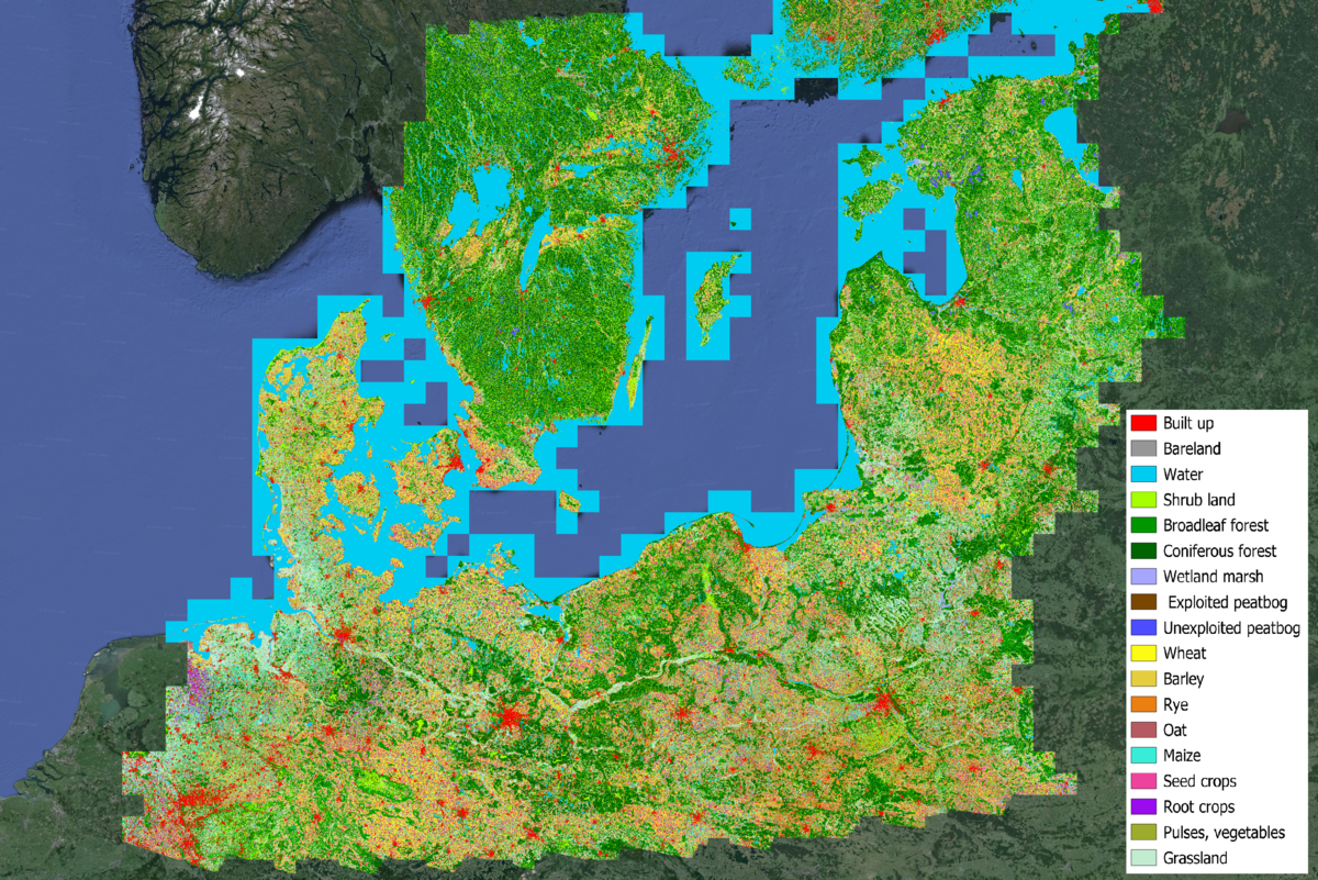
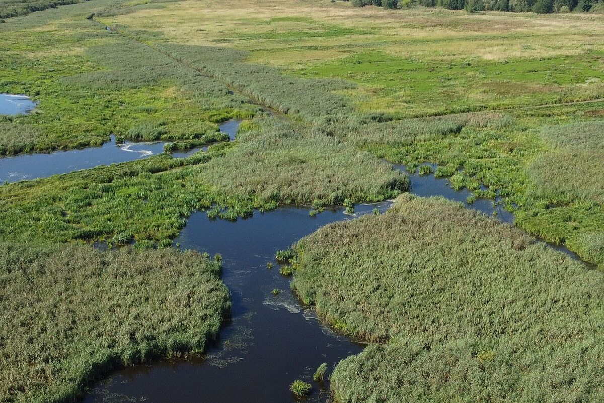
Working with satellite images and geoinformation is a core component of global environmental research and results serve, among other things, a better understanding of climate change impacts or drivers of land use change. We are engaged in the application and further development of satellite image analysis (remote sensing or Earth observation) and geodata processing for geographic and environmental sciences. Our regional focus lies on north-eastern Germany and the land areas of the Baltic Sea region. Thematically, we focus on the description of spatial-temporal land use change or changes in vegetation cover, especially in the context of mapping and monitoring peatlands and their rewetting. For this purpose, we use optical satellite data since the mid-1980s as well as other geodata and historical maps.
Our teaching activities include the basics of geoinformation science and cartography as well as remote sensing for students of geography, geology, landscape ecology and environmental sciences. In advanced modules in the BSc and MSc, students learn advanced work with satellite data and geoinformation along applied scientific questions and including laboratory and field work.
Contact
Earth Observation and Geoinformation Science Lab
Prof. Dr. Sebastian van der Linden
Address:
University of Greifswald
Institute of Geography and Geology
Friedrich-Ludwig-Jahn-Str. 16
17487 Greifswald