News from the Earth Observation and Geoinformation Science Lab
New international Nature study about Europe's most important wetlands for climate protection
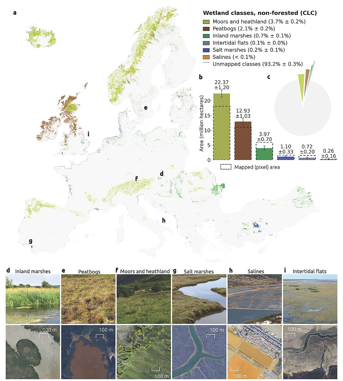
Researchers from the Greifswald Mire Center (GMC) including Sebastian van der Linden contributed to a newly published Nature paper. The international research team created the first high-resolution AI-based map of natural and near-natural wetlands across Europe to identify the areas with the greatest potential for climate and biodiversity protection. The study found that Europe's wetlands are highly fragmented, with about one-fifth significantly degraded by human activities. The map provides a scientific basis for meeting the EU's wetland restoration targets, estimating that for example Germany needs to restore around 106,000 hectares of near-natural wetlands by 2030.
The paper was published in Nature and is freely available here.
New published paper combines Neural Network segmentation with Sentinel-1 and -2 satellite data to map Cerrado wetlands in Brazil
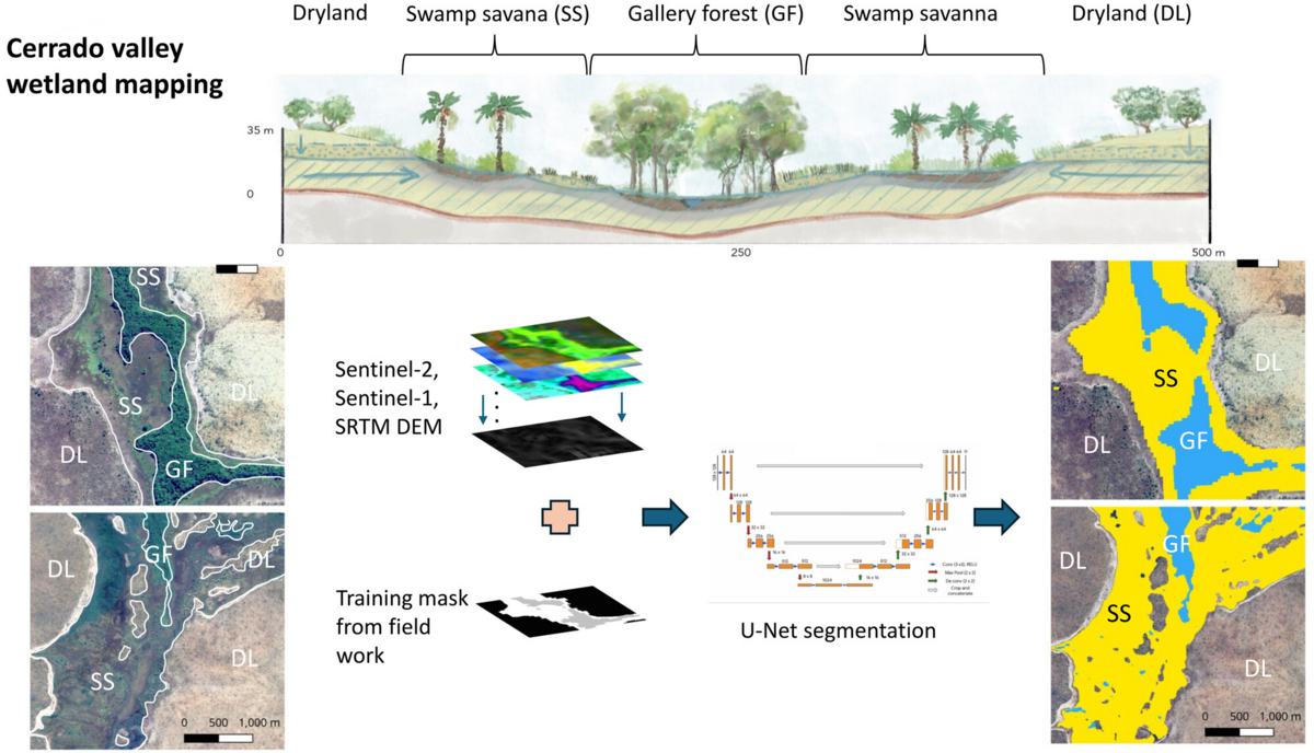
A recently published study by Felix Beer et al. proves a modern approach to map valley wetlands in the Brazilian Cerrado at high accuracies for the first time using a U-Net semantic segmentation architecture and selected moisture-sensitive indices. The challenge of mapping wetlands – swamp savannas and gallery forests – along valleys in the tropical savanna region of Brazil lies in a combination of factors: narrow wetland structures, a patchy mosaic of different wetland types, seasonal drying and confusion with non-wetland forests and savannas led to low accuracies in mapping with traditional machine learning approaches. Those wetlands represent the carbon-riches ecosystems in the Cerrado and they are suffering from land use pressure in combination with droughts and heat waves caused by the climate crisis. The published mapping approach contributes to a better mapping and monitoring of the valley wetlands in Brazil, which to date lack a adequat Cerrado-wide assessments.
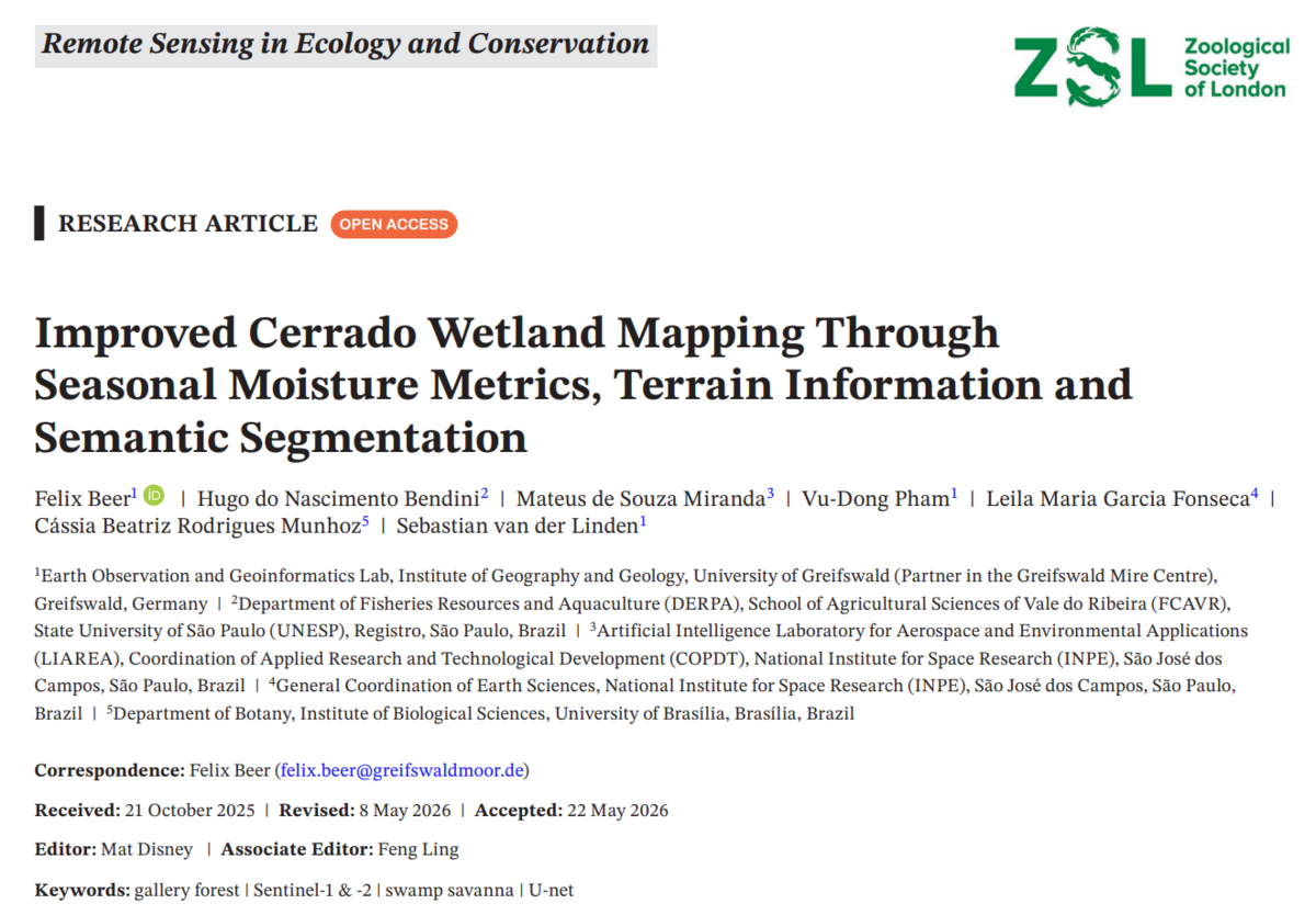
The paper was published in Remote Sensing in Ecology and Conservation and is freely available under the following link https://zslpublications.onlinelibrary.wiley.com/doi/10.1002/rse2.70087
14th EARSeL Workshop for Imaging Spectroscopy in Helsinki, Finland
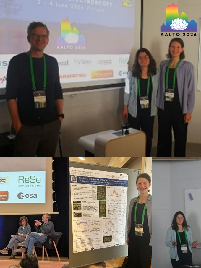
From 2nd to 4th June 2026, Christina Hellmann, Mirjam Weituschat and Sebastian van der Linden attended the 14th EARSel Workshop for Imaging Spectroscopy in Helsinki. Christina and Sebastian hosted a thematic session about Imaging Spectroscopy for peatland vegetation monitoring, in which Christina also gave a talk on peatland species abundance and condition from multidate EnMAP imagery. Mirjam presented a poster about the spectral properties of Sphagnum species to support the management of paludicultures. Sebastian was also part of a panel discussion on the current challenges and future prospects of Imaging Spectroscopy.
New published paper about mapping peatland species fractions and condition from space
In the paper, Christina Hellmann, Cody Watzig, Vu-Dong Pham, Marcel Schwieder and Sebastian van der Linden mapped peatland vegetation and condition from multi-temporal spaceborne imaging spectroscopy. Species and condition fractions were derived from the 30m hyperspectral EnMAP satellite data (DLR) using the spectral unmixing approach. The condition fraction maps show pixel-wise fractions for green vegetation (GV), non-photosynthetic active vegetation (NPV) and water for multiple dates. By combining species fraction maps with the multi-date condition fraction maps, species specific phenological trends over the course of a year could be derived. For future monitoring of rewetting effects, species specific phenological trends should be considered since the species may react differently to inundation or drought events. Further, variations in phenology within a single species may hint to differences in abiotic conditions and thus different effects from rewetting.
The paper is published in Frontiers in Environmental Science and is freely available under the following link: https://www.frontiersin.org/journals/environmental-science/articles/10.3389/fenvs.2026.1805563/full
